Skip to content
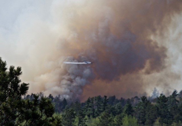
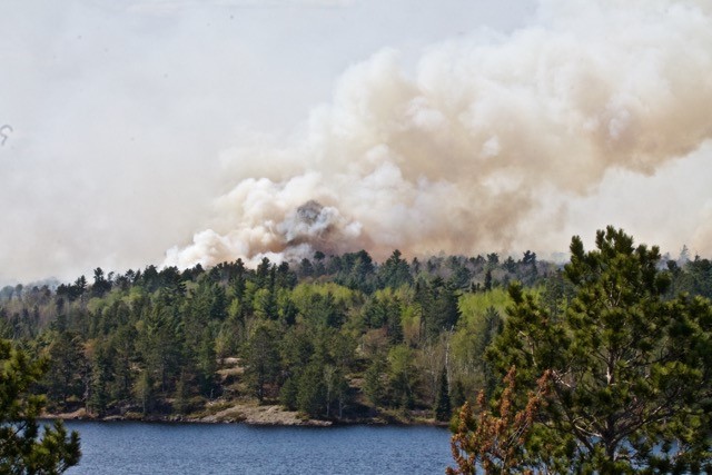
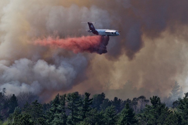
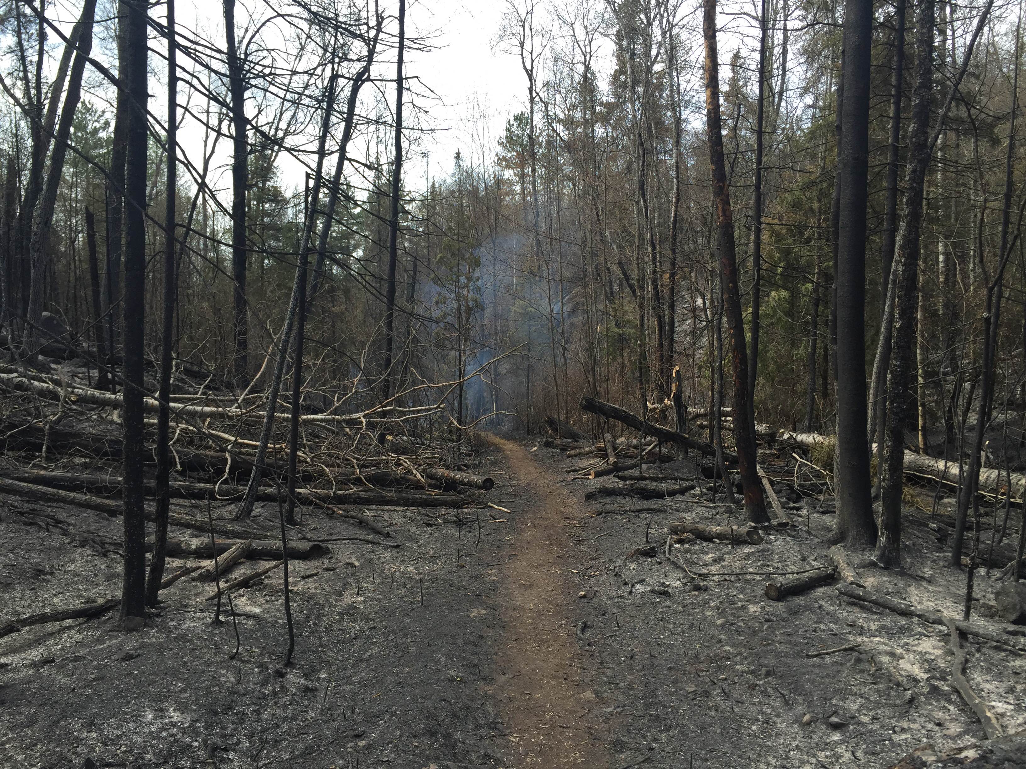
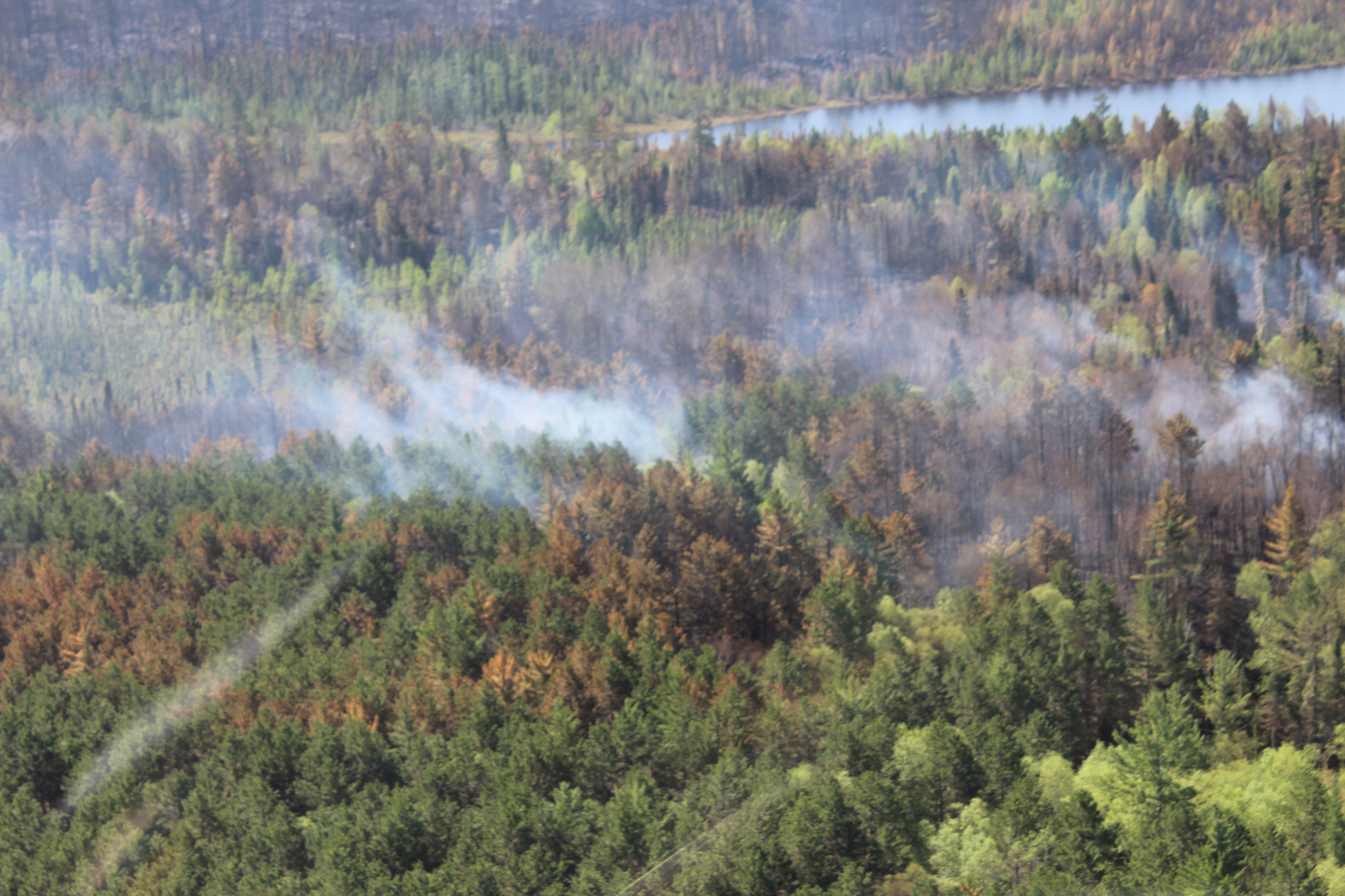
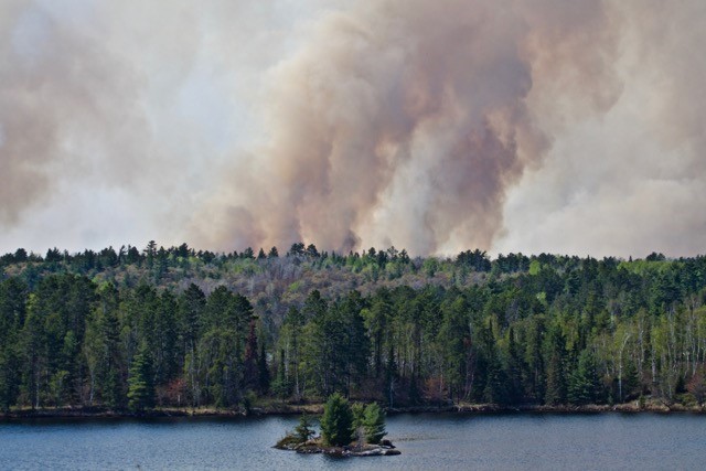
Foss Lake Fire, Judy Krish photo.
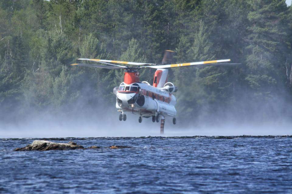
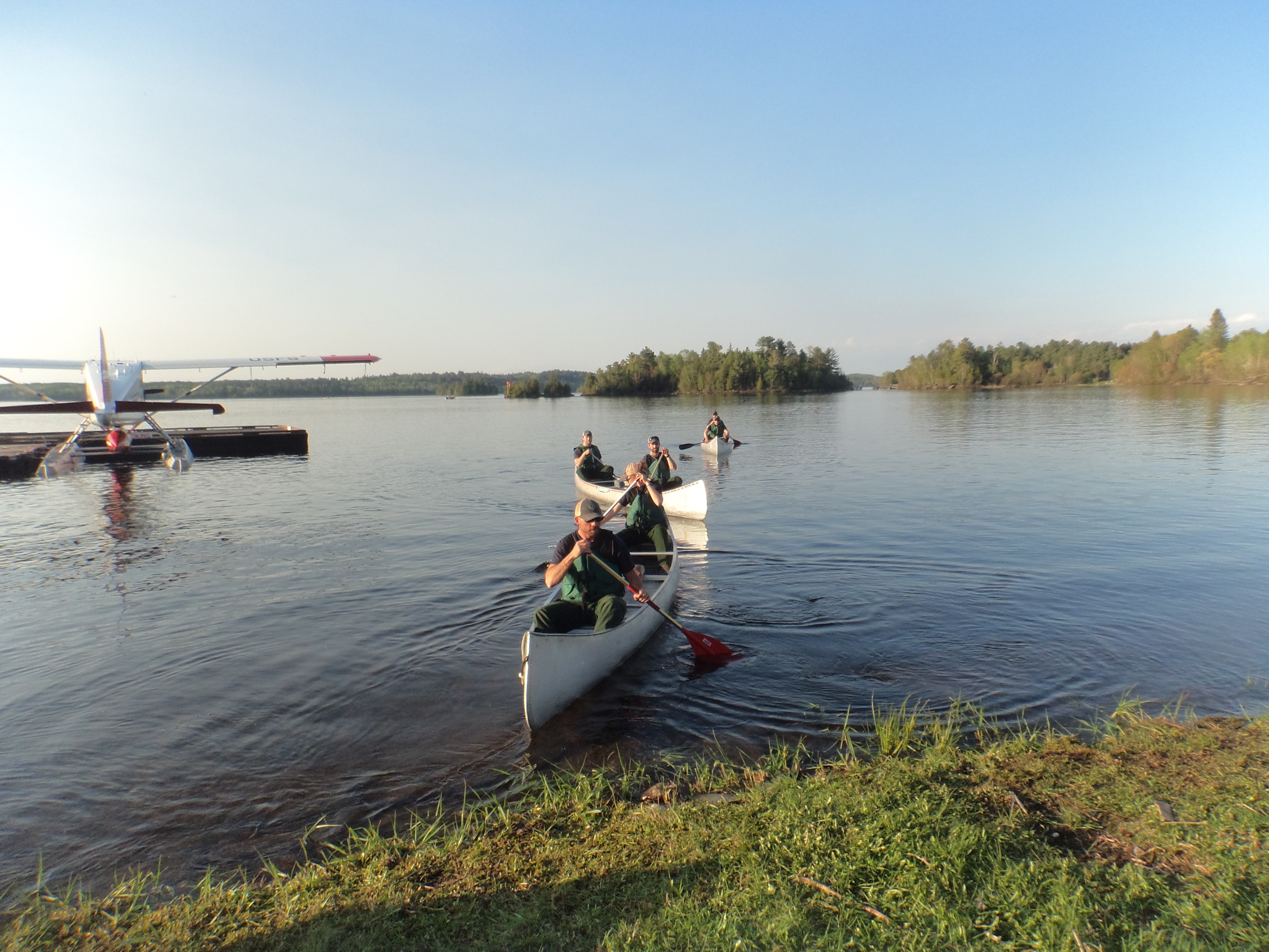
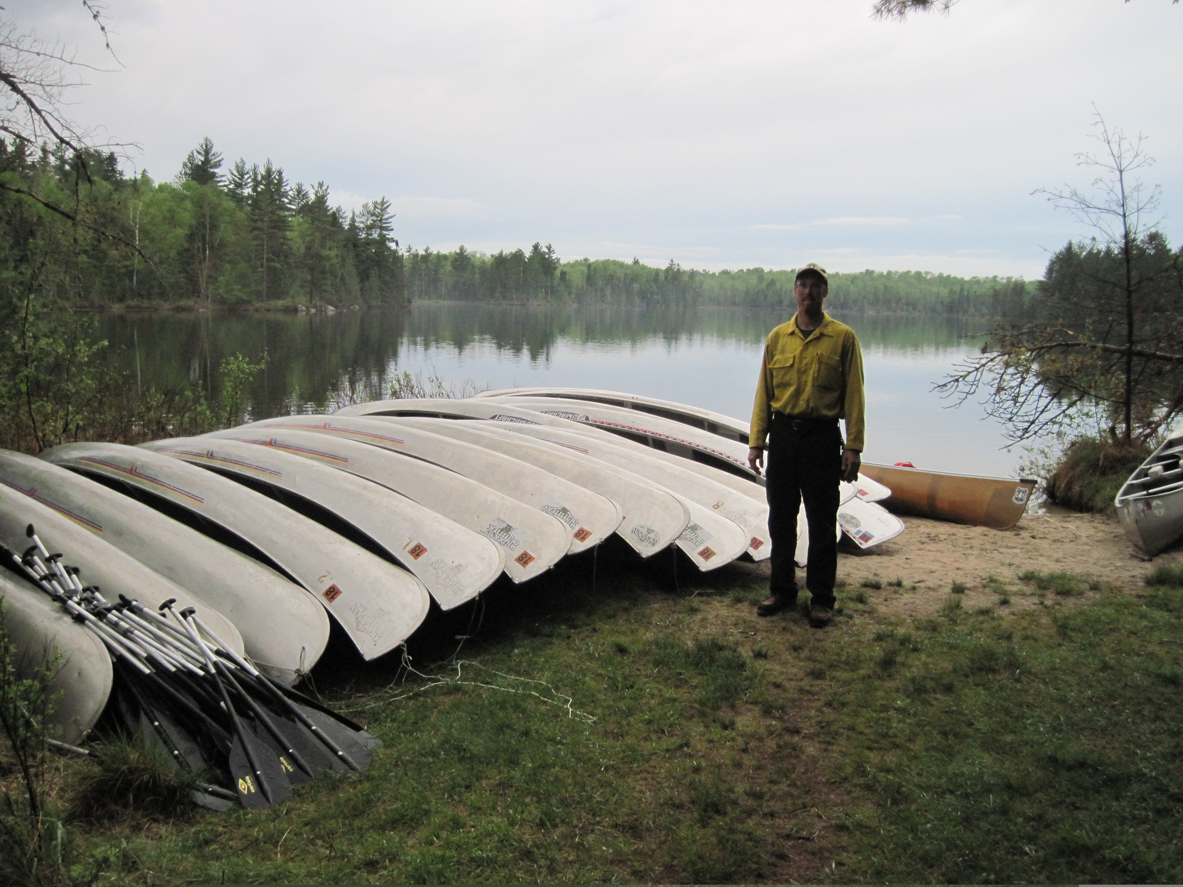
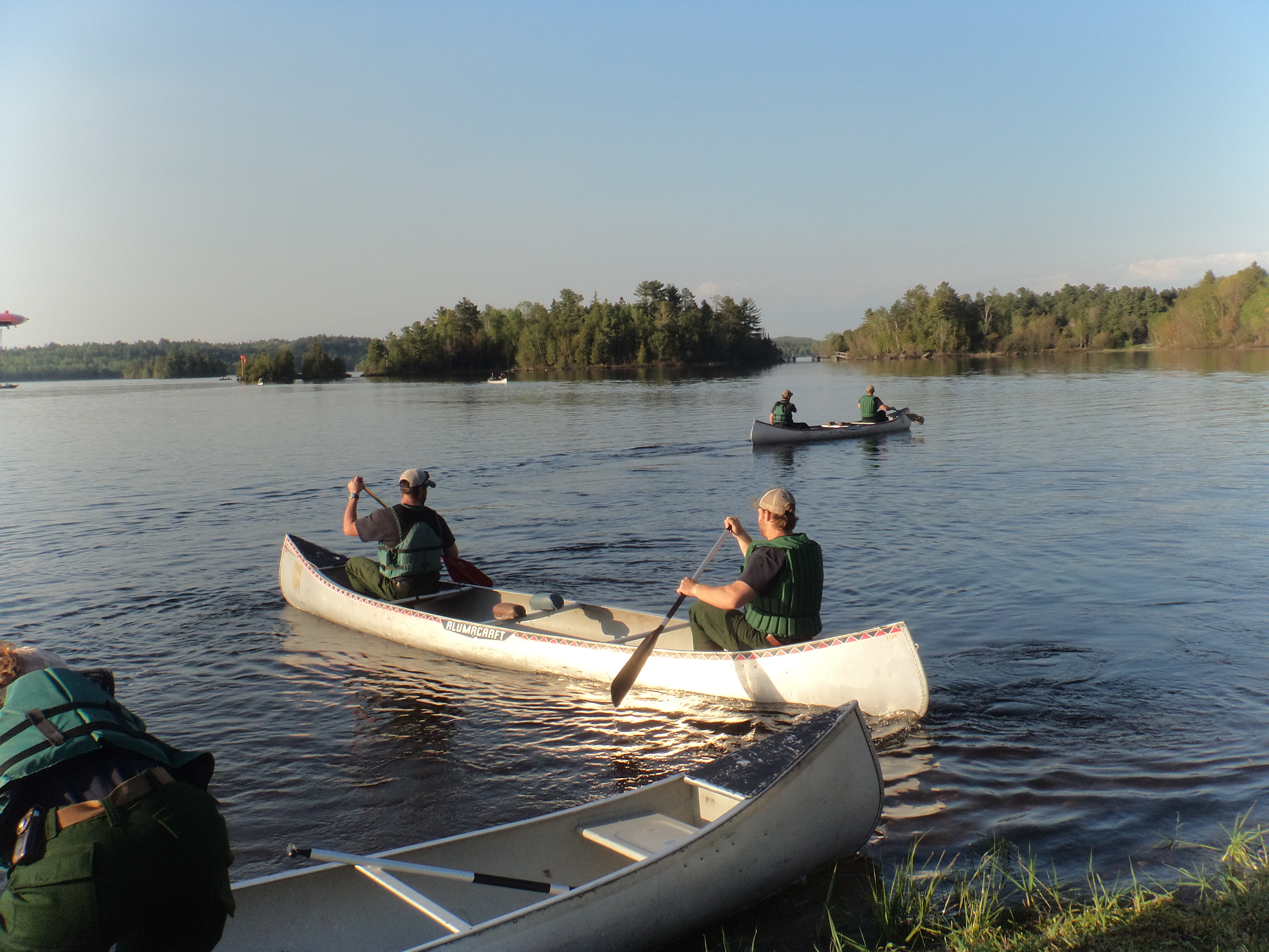
Burntside Lake, Don Potter photo
Foss Lake Fire, Judy Krish photo
Foss Lake Fire, Judy Krish photo
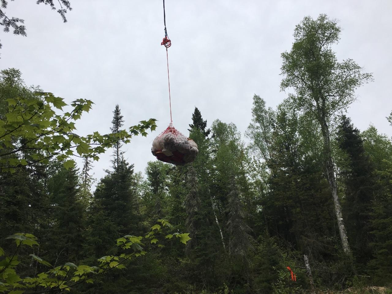
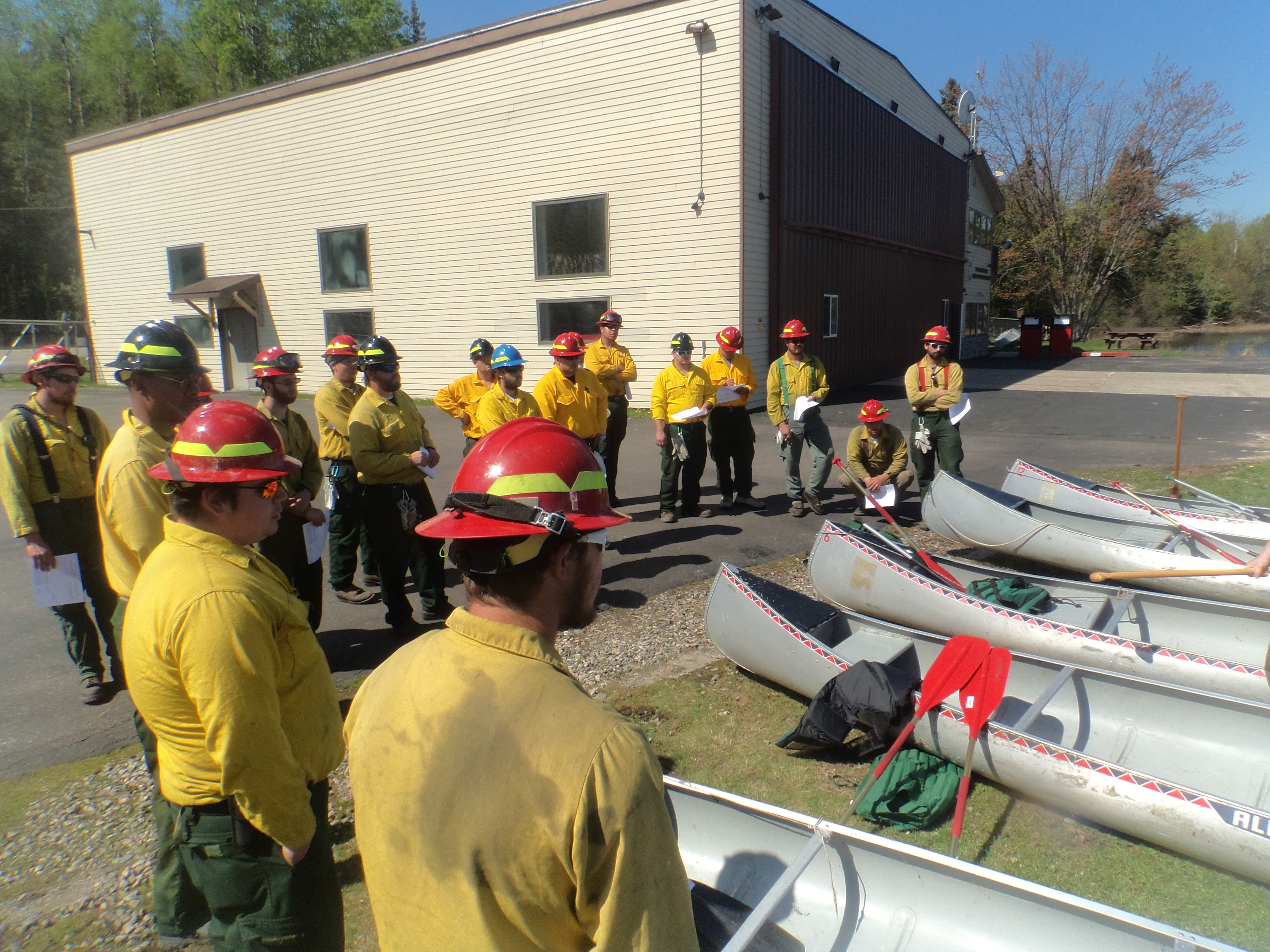
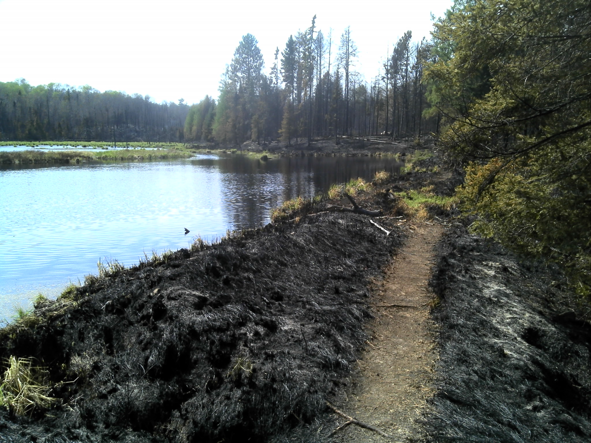
Foss Lake Fire 2016
Foss Lake Fire 2016
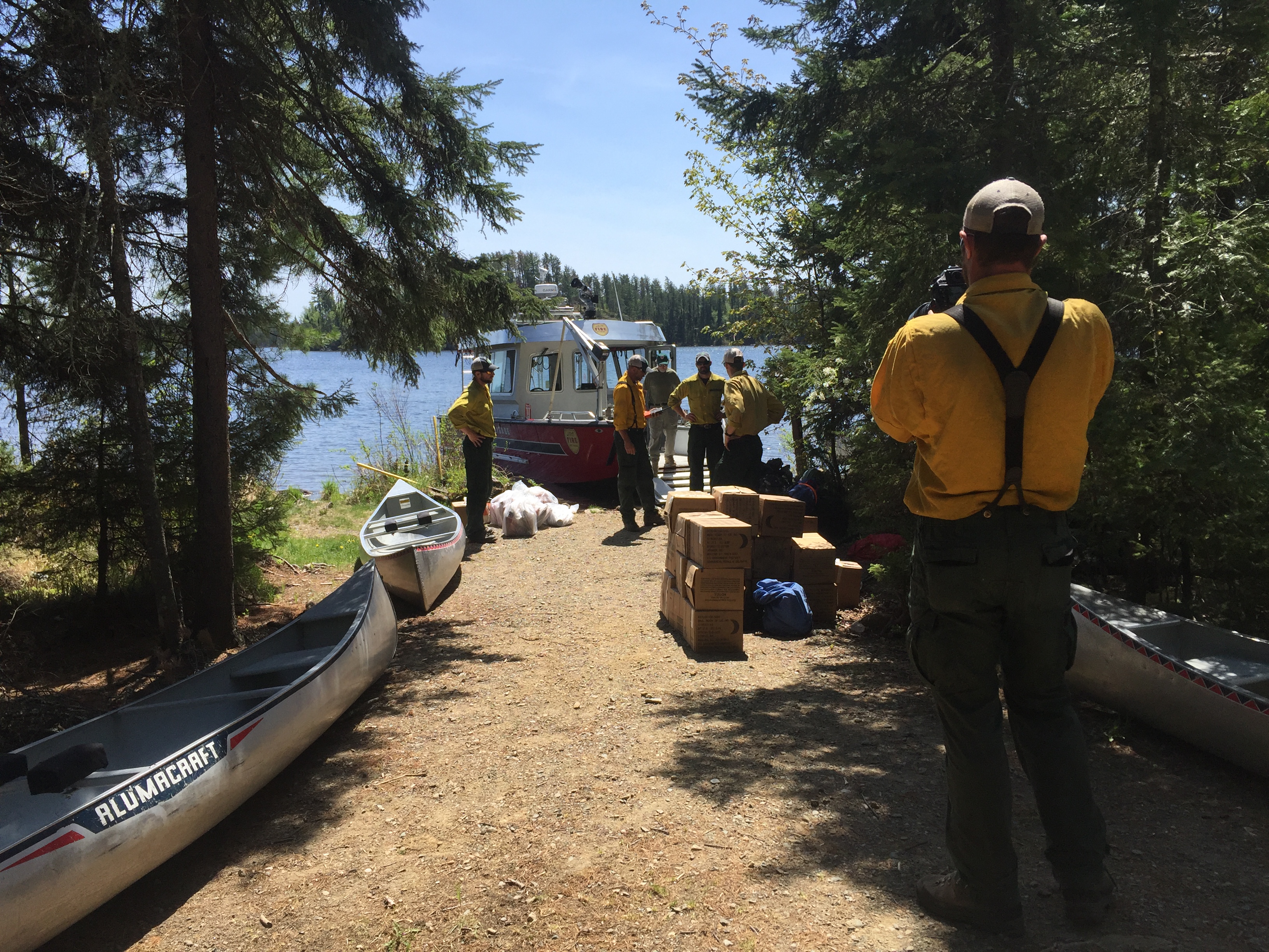
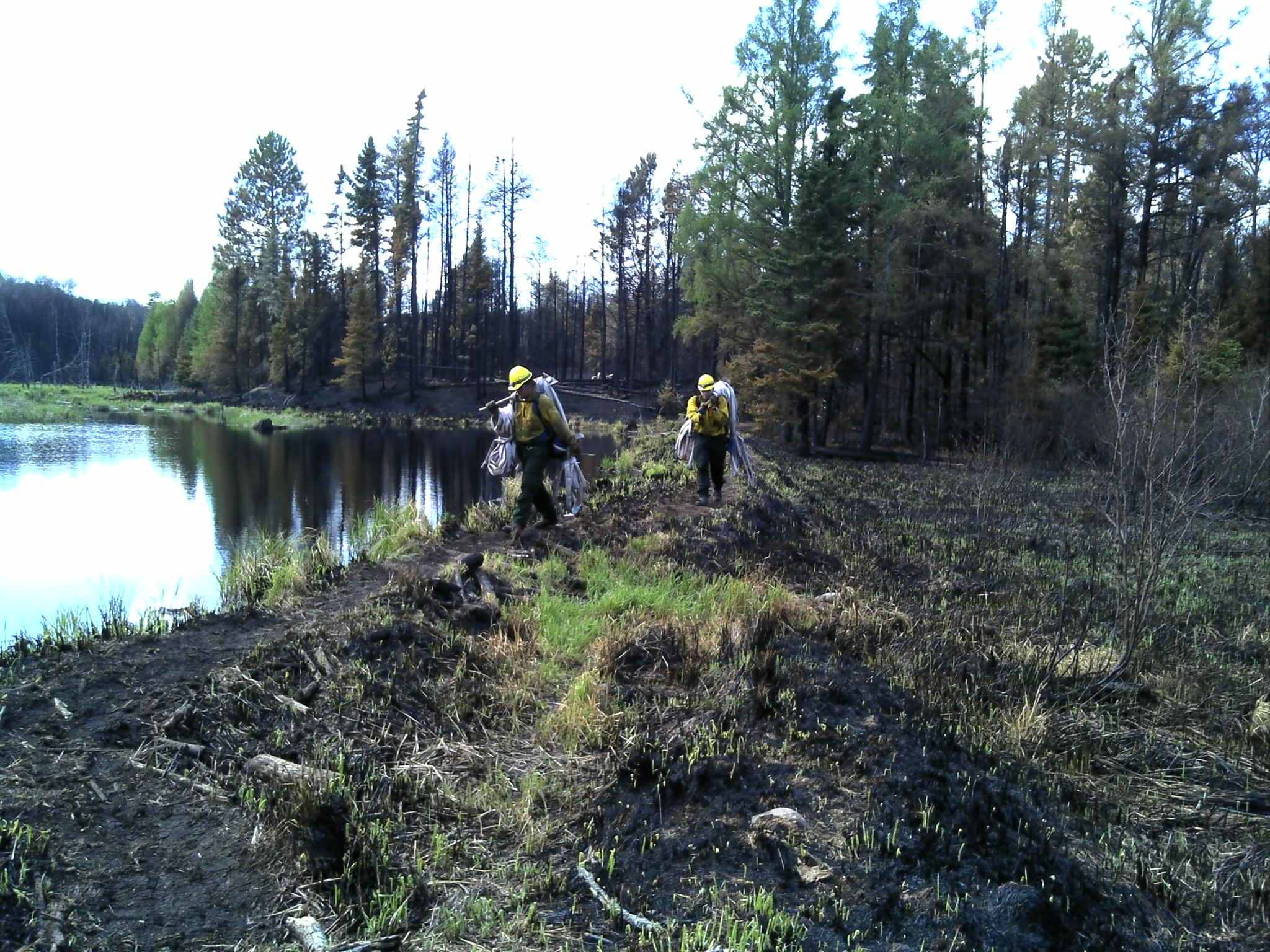
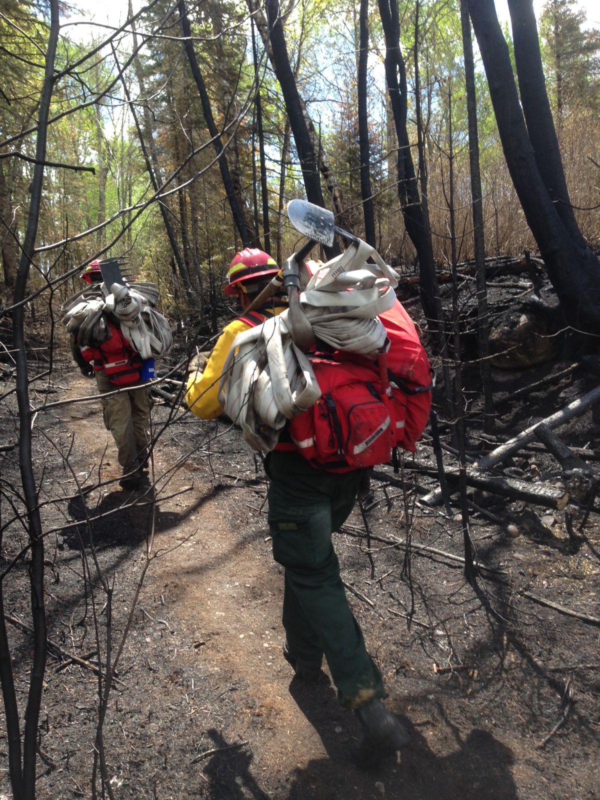
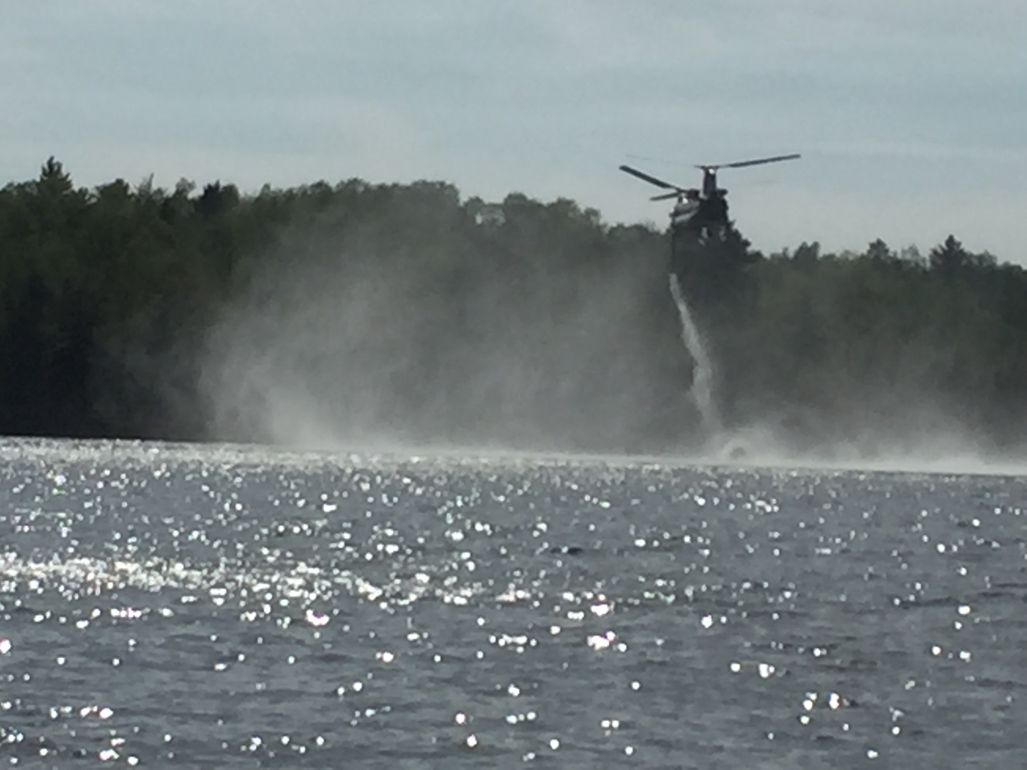
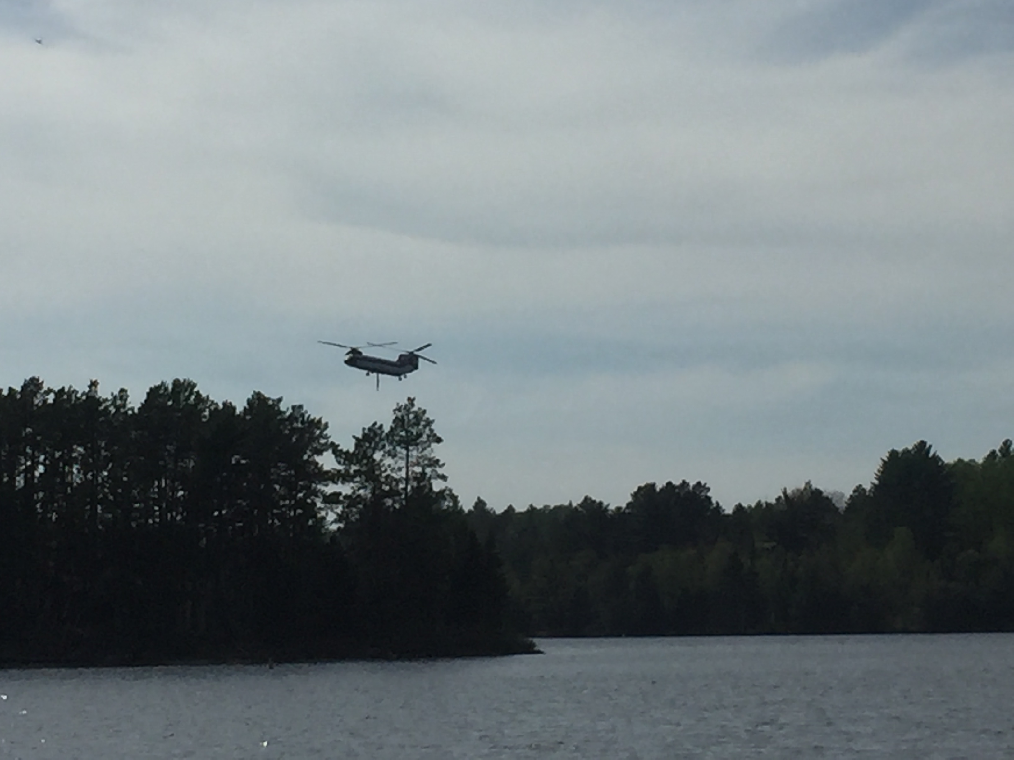
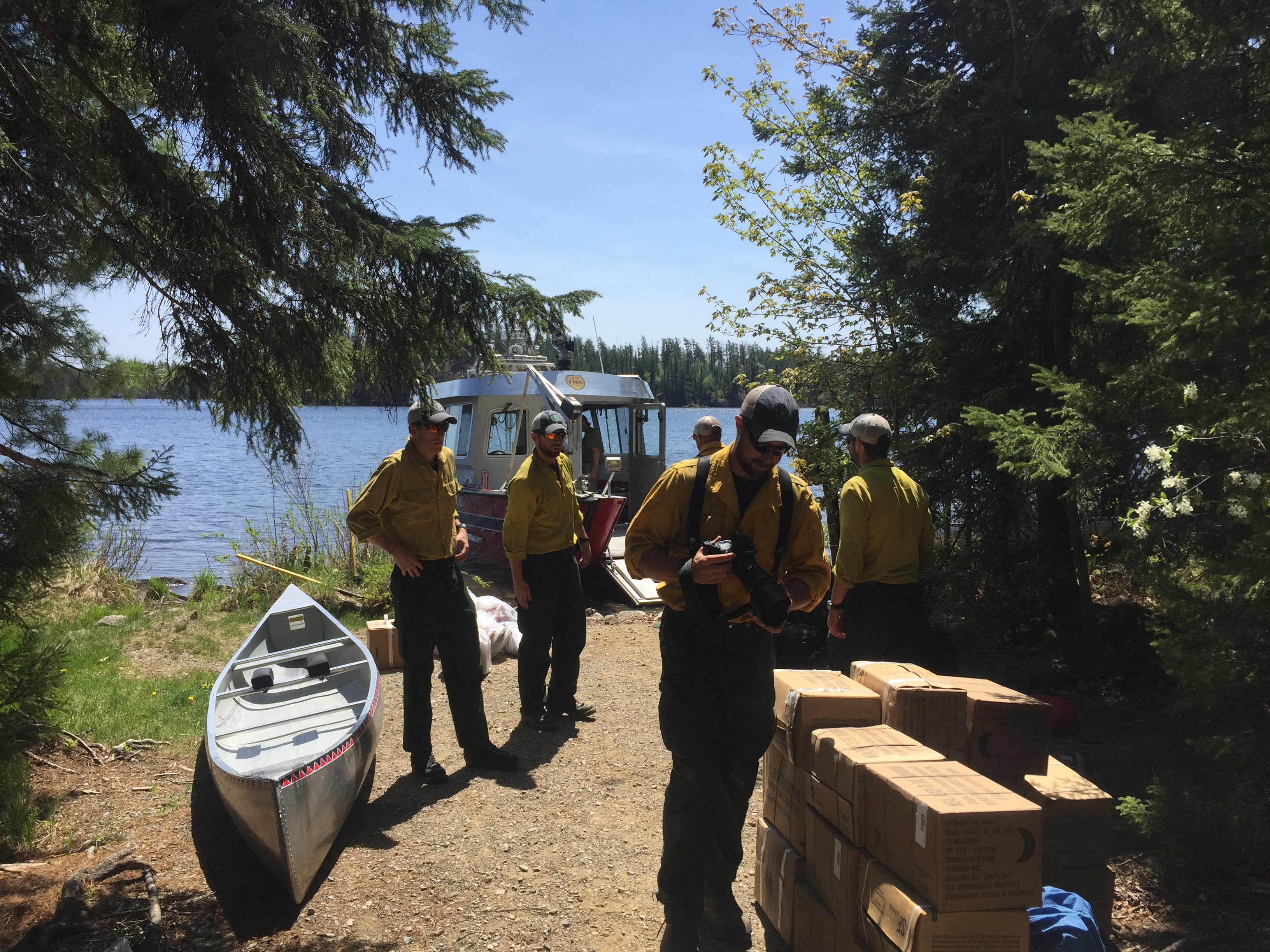
Foss Lake Fire, Vermilion Fire Brigade photo
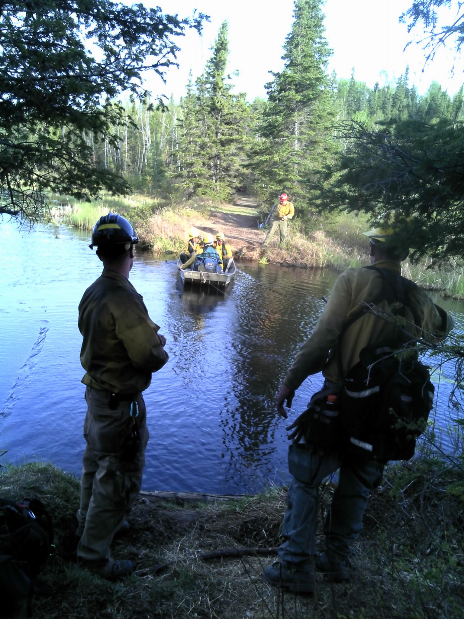
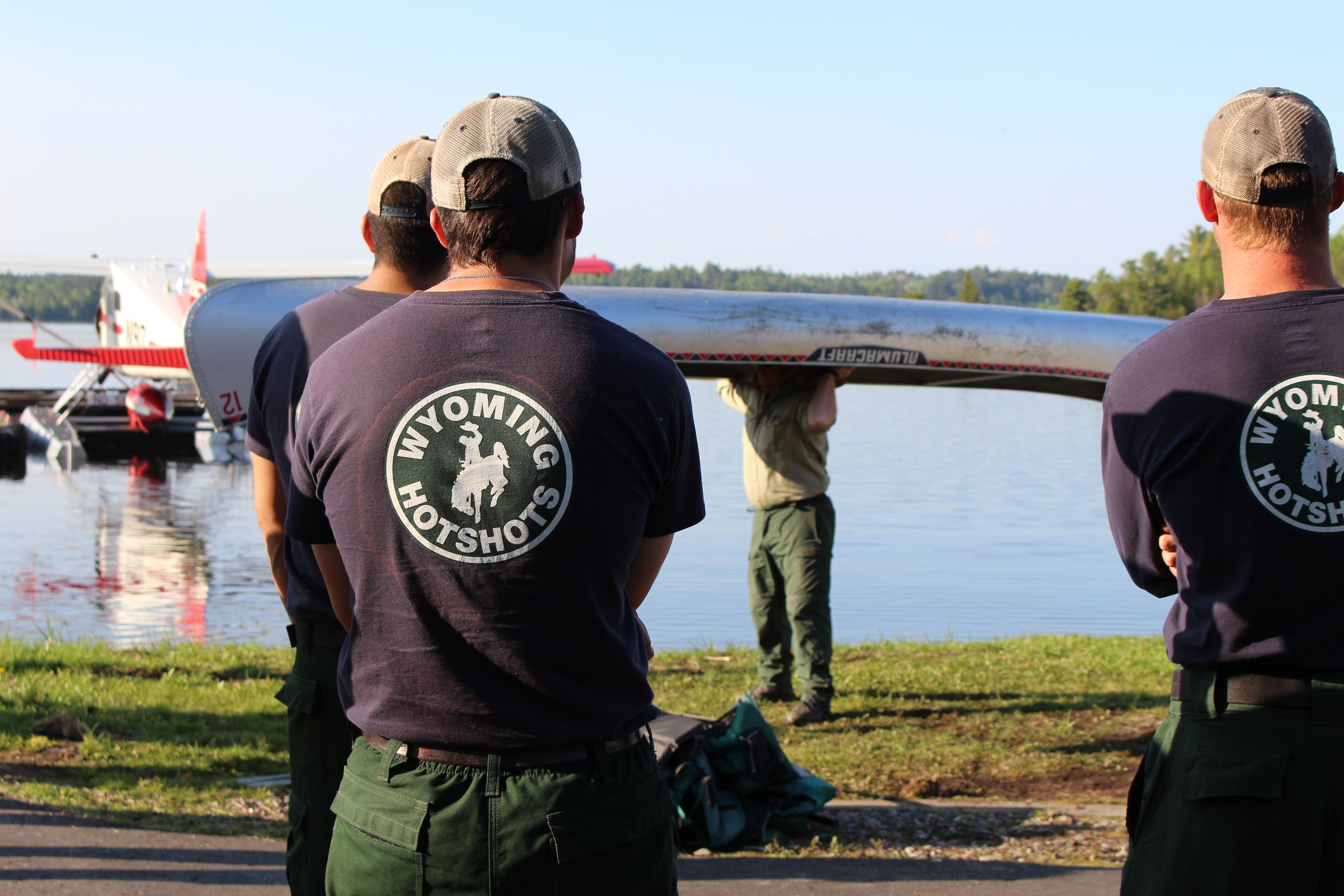
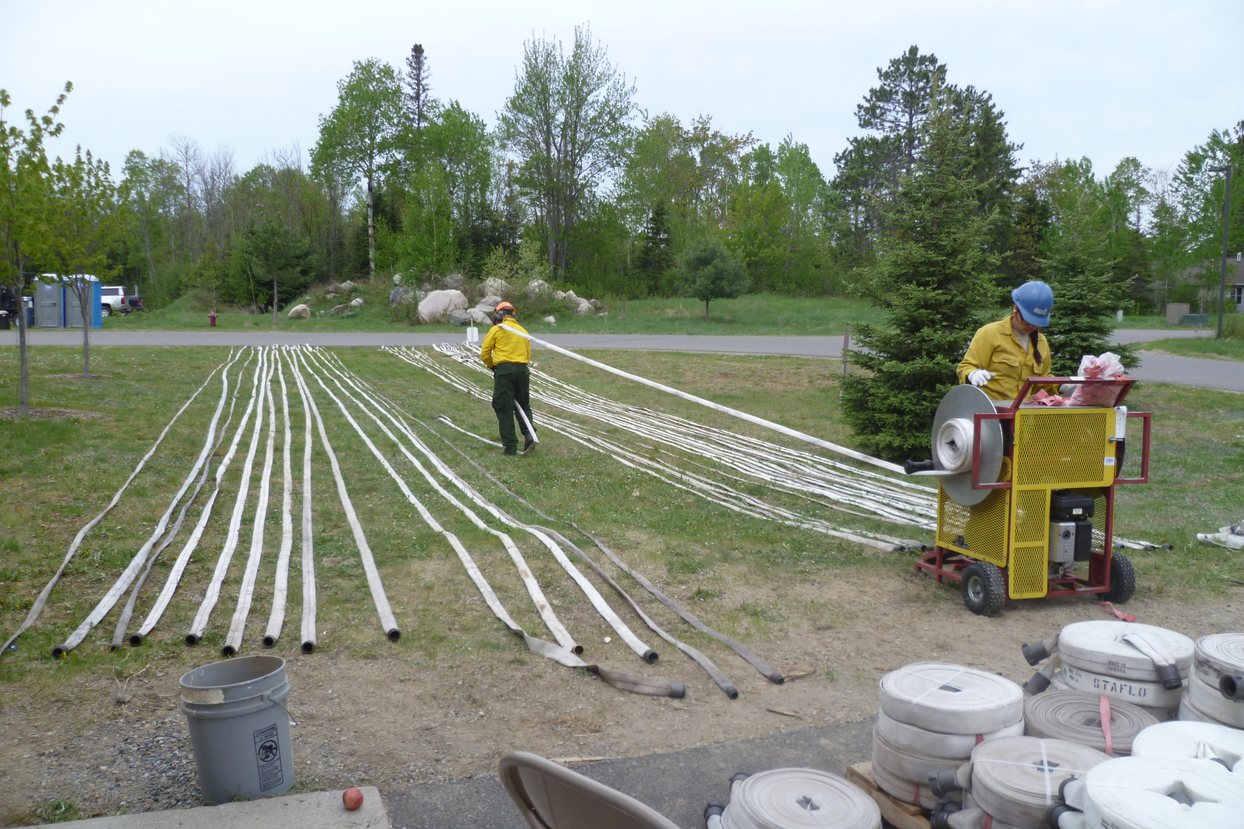
Preparing to draw water from Burntside Lake, Don Potter photo
Foss Lake Fire, Judy Krish photo