
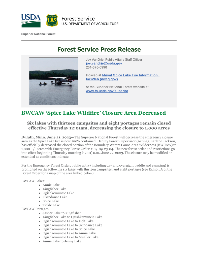
Updated June 21, 2023
- Size: 22 acres
- Containment: 100%
- Detected: June 13, 2023
- Location: Superior National Forest – between Spice Lake and Ogishkemuncie Lake in the Boundary Waters Canoe Area Wilderness (BWCAW) on the Glunflint Ranger District of the Superior National Forest.
- Incident Management Team: MNICS Team B
- Cooperating Agencies: Superior National Forest
Previous Spice Lake Fire Updates & Notices
June 20, 2023
June 19, 2023
June 18, 2023
June 17, 2023
June 16, 2023
June 15, 2023
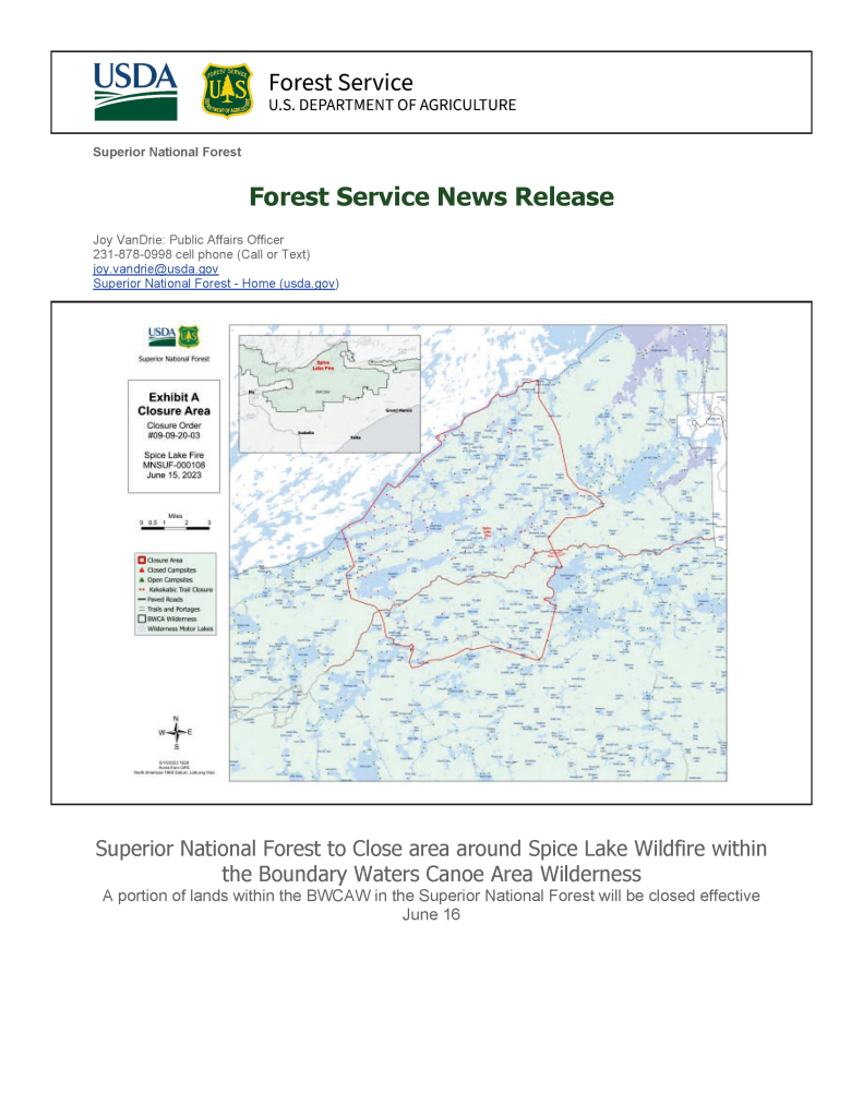
Spice Lake Wildfire Closure Notice
June 14, 2023
June 13, 2023