Skip to content
  • HOME
  • ABOUT MNICS
  • ABOUT MIFC
  • CONTACT US

MNICS.org

  • INCIDENT INFORMATION
    • Minnesota Incidents
    • Inciweb
  • SERVICES
    • Member Support
    • Weather
    • Fuels / Fire Danger
    • Outlooks
    • Firewise Minnesota
  • MNCC DISPATCH / NEK
    • Minnesota Interagency Coordination Center
    • Aviation
    • Intelligence
    • Equipment / Supplies
    • Overhead / Teams
    • Crews
  • ADMINISTRATIVE
    • MNICS Coordination
    • Outreach Resources
    • Policy, Plans and Guides
    • Incident Business
    • Safety Management
    • Training
  • RESOURCES AND LINKS
    • Photo Galleries
    • Eastern Area Coordination Center
    • All Regional Coordination Centers
    • National Coordination Center
  • Calendar
MNICS.org

MB Tiles

*Note* These links will take you to an external website.

These are large files meant to be used with ForeFlight. Most users will benefit from using the PDF versions in Avenza.

Statewide Fire Response Maps
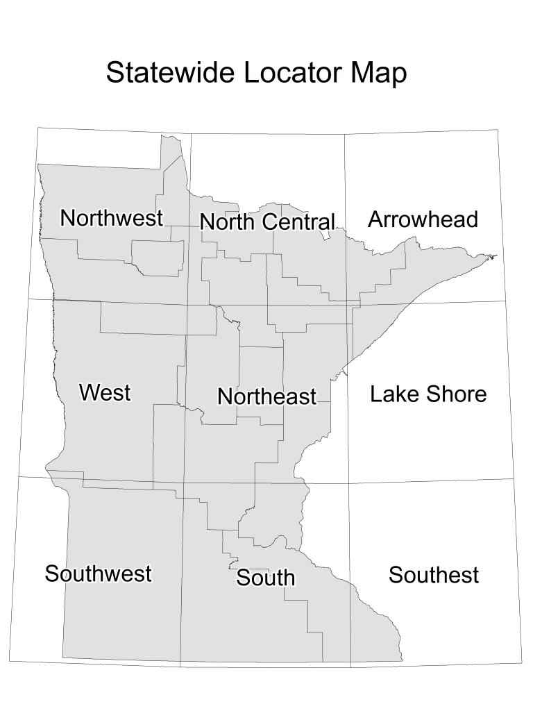
ATGS 2022

Arrowhead_2022

Lake Shore_2022

North Central 2022

Northeast_2022

Northwest_2022

Southeast_2022

Southwest_2022

South_2022

West_2022

National Forests

Superior National Forest

Chippewa National Forest

News

  • Crosby Fire Update 10.15.2025 October 15, 2025
  • Crosby Fire Update 10.14.2025 October 14, 2025
  • Crosby Fire Update 10.13.2025 October 13, 2025

Current Preparedness Levels

  • Minnesota = 2
  • Eastern Area = 1
  • National = 1

Updated 10/28/2025

NIFC Predictive Services

National Significant Wildfire Potential Outlook
MN Fire Danger map

2025 MNICS Meeting

Meeting Information
MNICS Awards Information

Current Conditions

Fire Danger

MN Fire Danger map

Burning Restrictions

MN Burning Restriction map
  • BIA
  • DNR
  • FS
  • FWS
  • HSEM
  • NPS
  • SFM
  • |
  • DISCLAIMER
  • ADMIN LOGIN
  • PRIVACY
  • CONTACT US