
- Size: 90 acres
- Detected: May 29, 2021
- Location: 2.5 miles northeast of Bagley, Minn., along the School Forest Road
- Incident Management Team: MNICS Team C, Incident Commander Jim Edgar
- Cooperating Agencies: Minnesota DNR, Bagley Volunteer Fire Department, and Clearwater County Sherriff’s Department
The School Forest Fire was detected mid-morning on Saturday, May 29, 2021. The fire was located 2.5 miles northeast of Bagley, Minnesota, along the School Forest Road. Amid near-critical fire weather conditions, the fire actively ran through swamp grass, brush, timber, and logging slash. Dry fuel conditions, erratic winds, and low relative humidity allowed for significant spread and spotting to occur.
Ground suppression efforts were initially responded to by the Minnesota DNR and the volunteer fire departments from Solway and Shevlin, Minnesota. The White Earth Agency also supported the efforts by providing firefighters and engines. In addition, aircraft were critical in supplying water drops that aided ground crew efforts, cooling down the rapidly advancing flame fronts. Aircraft included an air attack, two Fire Boss air tankers, a single engine air tanker (SEAT), a large air tanker (LAT), and a helicopter. The aircraft remained on scene throughout the afternoon and evening.
By mid-afternoon of Saturday, May 29th, as firefighters worked to construct a dozer line around the majority of the fire’s perimeter, a Minnesota Incident Management Team (MNICS Team), led by Incident Commander Jim Edgar, was requested to assume management of the School Forest fire. By 4:00 p.m., the fire was estimated to be 105 acres in size and 85 percent contained.
MNICS Team C assumed command of the School Forest fire on Sunday, May 30, 2021, at 07:00 a.m. The Team set out to establish the final 15 percent of the containment line, utilizing a wet line tactic – water or fire retardant drops along the fire line that serves as a temporary control to stop a low-intensity fire from spreading. Ground crews immediately began mopping up lingering hotspots from the containment line into the fire’s interior.
An infrared flight flown over the fire on May 30th revealed eight pockets of heat that fire crews were able to cool down through mop-up efforts. Through improved mapping, the fire was determined to be 90-acres in size.
The fire was fully contained by the end of shift on May 30th. After a full day of continue mop up efforts, the School Forest fire entered patrol and monitor status on Tuesday, June, 1. Excavators and hand crews engaged in rehabilitating the dozer line to prevent exposed bare soil from damaging wind and water erosion.
MNICS Team C transferred the fire management to a smaller local fire organization and incident commander on Thursday, June 3, 2021.
Muskeg tracked vehicles are frequently used on fires like the School Forest fire due to their ability to move over difficult terrain and transport up to 300 gallons of water. 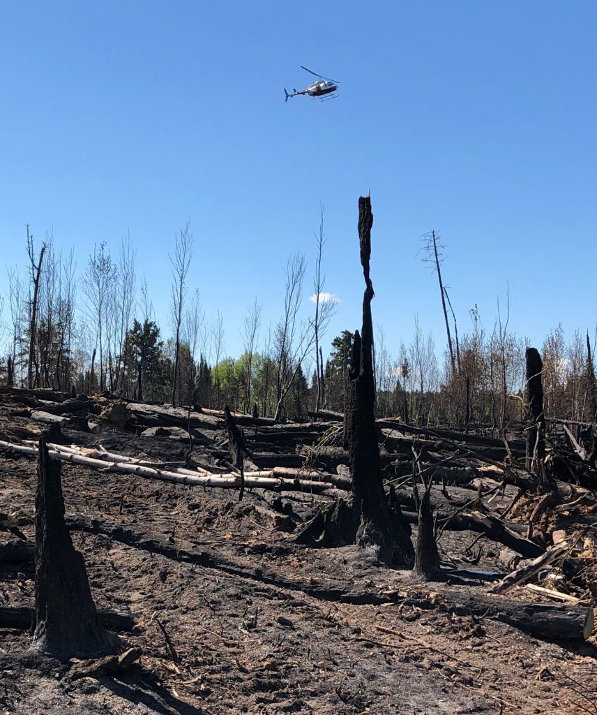
Drought mixed with warm, dry, and windy conditions supported rapid fire growth after the on set of the School Forest fire. 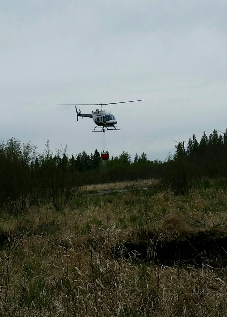
Helicopters often dip for water from nearby open water sites, including marshes and ditches. 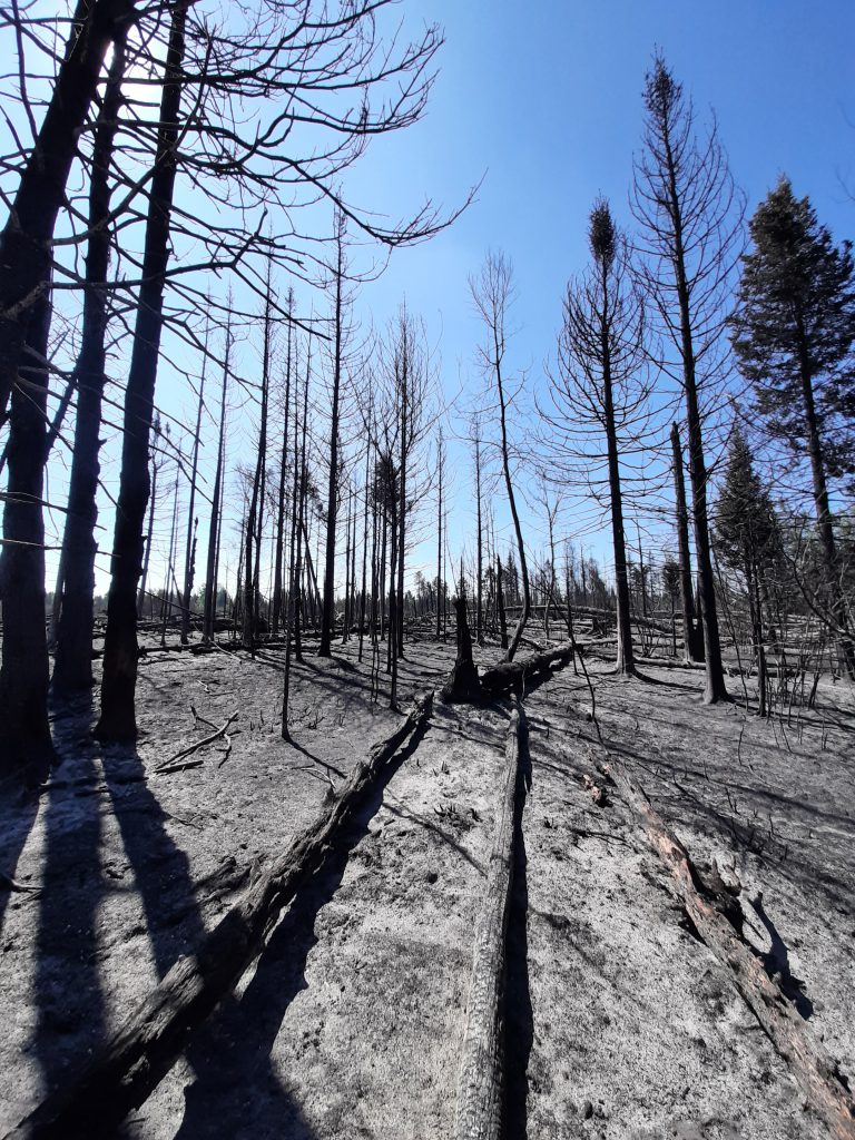
Drought mixed with warm, dry, and windy conditions supported rapid fire growth after the on set of the School Forest fire. 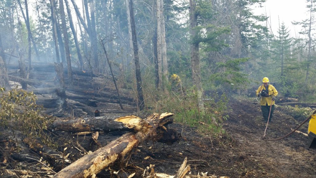
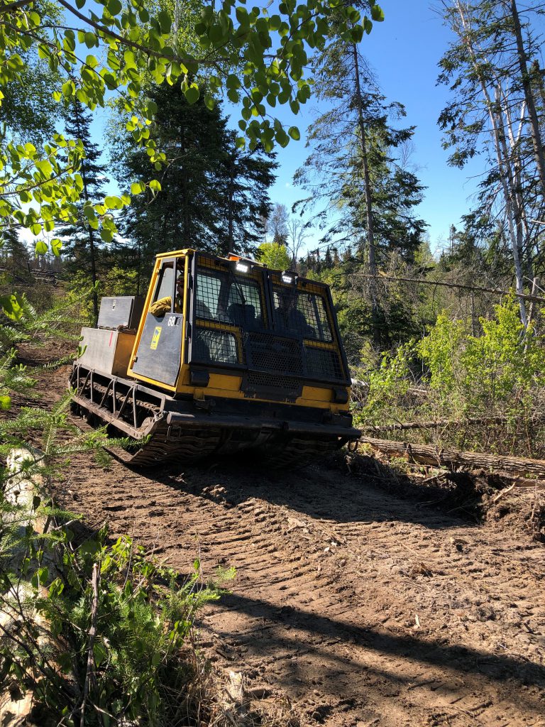
Firefighting often involves mop up work to cool smoldering stumps and debris with pumps and hoses that distribute water and chainsaws to drop hazard trees. 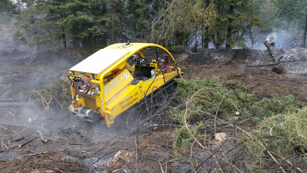
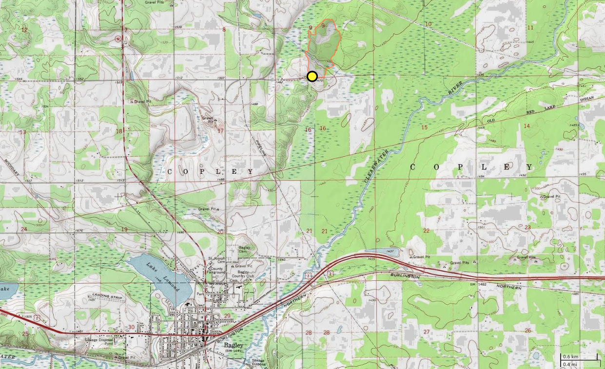
J5 tracked vehicles are frequently used on fires like the School Forest fire due to their ability to move over difficult terrain and transport up to 100 gallons of water. 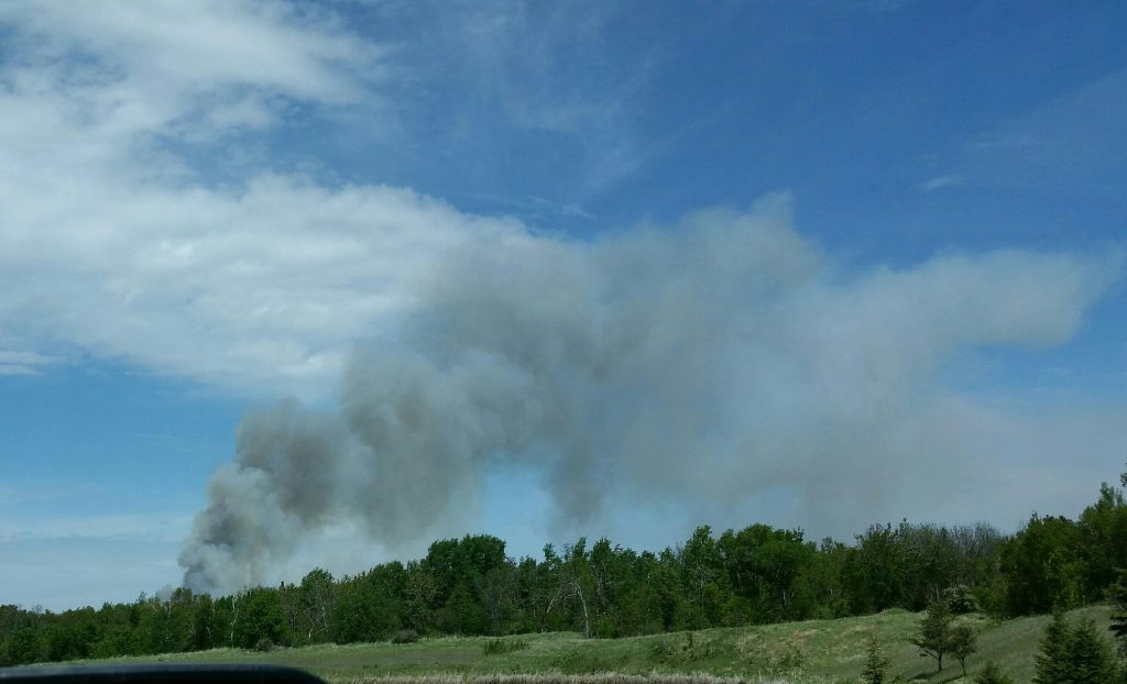
A smoke plume that formed above the School Forest fire. 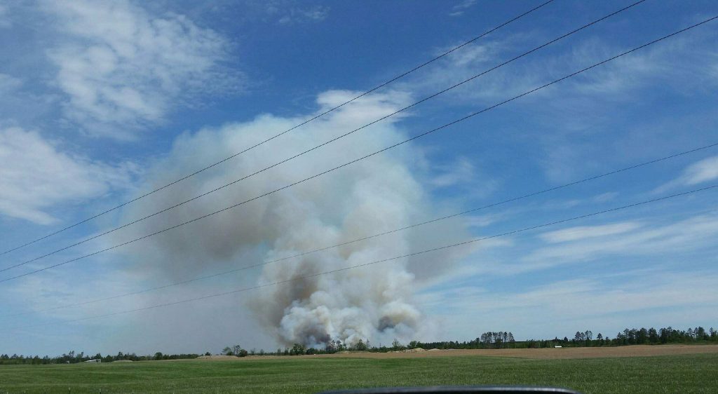
A smoke plume rises above the School Forest fire.